Top Survey GPS map camera
A downloadable tool for Android
Top survey is an App which can help while surveying on the field by a finely crafted camera having all the requisites in support of surveyors. Civil engineers, Photographers, Archaeologists, researchers, etc can take maximum benefits of such an amazing tool during their site survey.
Photos & videos captured here will have easy GPS location stamps, Notes, DateTime stamps & many more. This App can make your survey work as easy as possible.
Key Features of Top survey GPS map camera:
In-App camera to make your photos & videos outshine well with GPS stamps
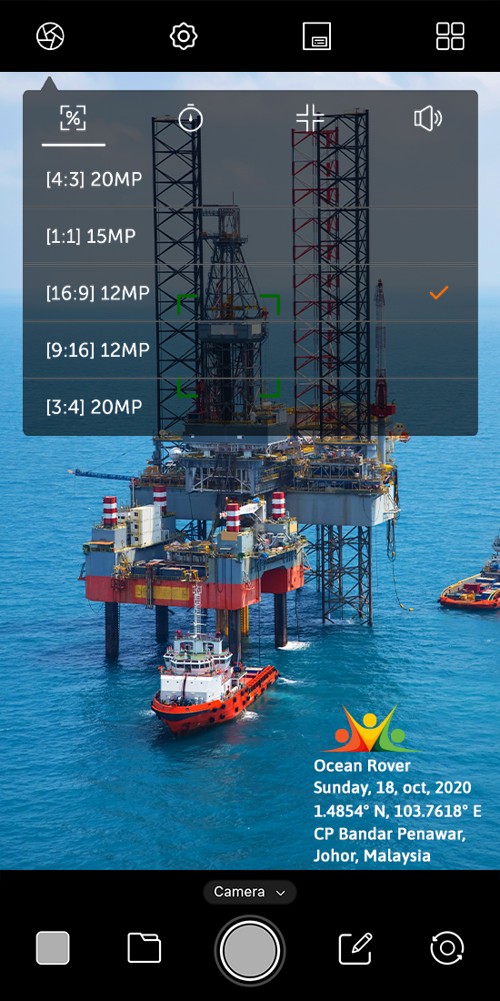
⃞ Photo & Video Settings:
Adjust Timer, Ratio, Grid & Sound of your choice to click your perfect pictures or videos.
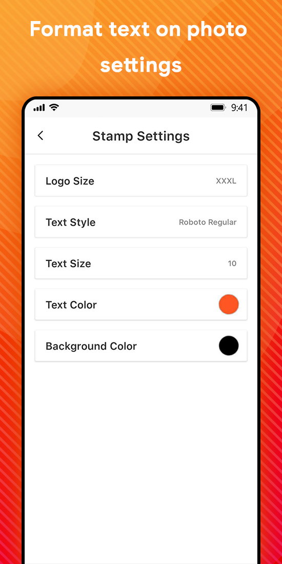
⃞ Text Settings:
Font style: Set the font style according to your preference
Text Size: Adjust Text size from given values
Font color: Select color of fonts from multiple color options
Background color & Transparency: Set stamp background color
⃞ Logo Settings:
Logo Size - Adjust Logo size as required
⃞ Stamp Settings:
Stamp Position: Select positions from Top Left, Top Right, Bottom Right, Bottom Left
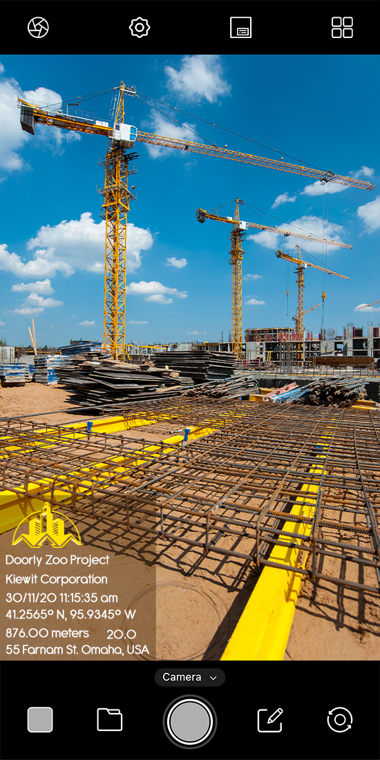
⃞ Survey details as stamps on Photo:
All the details related to Survey, add directly on Photo itself
🔰 Project Name: If you are working on any project, add project name on photo/video
🔰 Company Name: You can also mention Company’s name info
🔰 Notes: Write any specification that you want to add on photo/video, simply add survey notes.
🔰 GPS Coordinates: Add exact GPS coordinates on photo/video
🔰 Date & Time: Easily add Date Time stamp with geotags.
🔰 Address: Add GPS stamp on photos by geo tagging images
🔰 Accuracy: Define accuracy of the GPS photo location
🔰 Altitude: Add Altitude watermark while geotagging photos
Here you can make File Name having following details:
Add Project name, Company name, Note, Coordinates, Date & Time, Address, Altitude to file name itself.
● Why do you need to have this app on your device?
→ Easy to add geotag on photos as well as text on photo & Text on video
→ InApp GPS Camera with timestamp & Geolocation
→ GPS photo tagger for all Geo tagging camera related work
→ Date timestamp on photo & video with GPS map camera
→ Camera with Notes to add text on photo as like autostamp and datestamp
→ Top survey with Date time stamp & GPS map stamp is a fine combination
→ Geotagging app for adding real time as time stamp camera and location while surveying
● Who can use this Top survey GPS map camera with Geotagging & timestamp camera App?
▸ Civil engineers while surveying and leveling construction sites can click photo/video with this app
▸ Researchers can get highly benefited while sharing field images of land survey to others with exact location details available on the photo map.
▸ Those Covering accident scenes or disaster management firms may get advantage of this app specially designed for them
▸While land surveying, camera timestamp & photo GPS location helps in getting all the details available on the photo before sharing
▸ On times when real time and location is involved to be shared to others.
▸App can help archaeologists to click photo/video with exact location details & Date to time stamps.
Download this App to support your survey work and even while exploring new fields.If you have more suggestion or query write us on:
Download
Also available on


Leave a comment
Log in with itch.io to leave a comment.